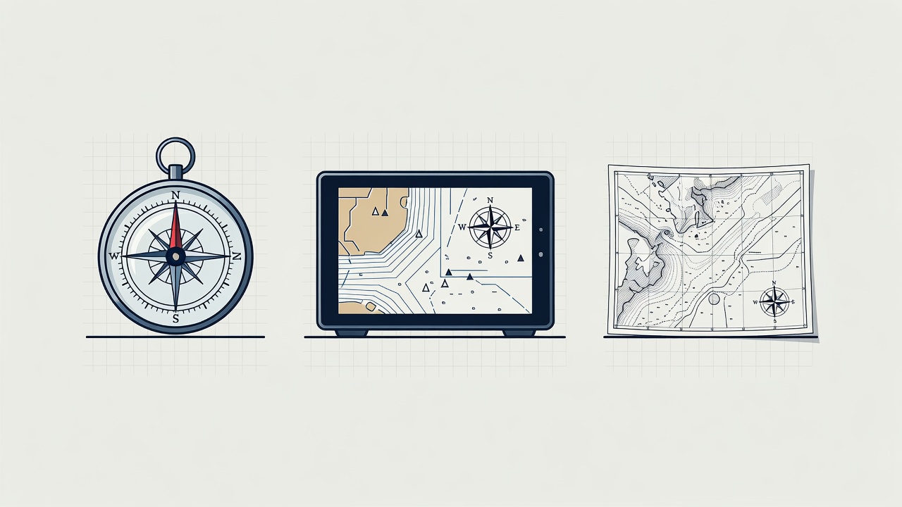
Give each instrument a clear job
A steering compass helps the helm maintain a heading. A chartplotter places a reported position on a digital chart. A depth instrument measures depth beneath its transducer, subject to its setup and operating limits. These instruments complement one another; they do not answer the same question.
Learn the difference between heading and course over ground before relying on either display. Tide, leeway and manoeuvring can make them differ substantially. Likewise, a depth reading is not automatically the depth below your keel or the charted depth. Record the offset used and make sure the crew understands it.
A hand-bearing compass can support visual bearings where suitable landmarks are identifiable. Binoculars can help with identification, although magnification, motion and poor visibility impose limits. Neither removes the need for a lookout or careful chart interpretation.
Choose for the place it will be used
Check a display from the normal steering and navigation positions. Small details may be clear at a desk but difficult to read through spray, spectacles or reflected sunlight. Test dimming for night use and consider whether a touchscreen remains practical when wet. Physical controls can be useful, but their placement and operation still need checking.
Chart coverage, update arrangements and the ability to view sufficient detail matter more than decorative screen features. Confirm that the intended cruising area is included and that necessary harbour information is current. An overview scale can conceal important detail; zooming in does not create information absent from the underlying survey.
| Equipment | Useful role | Check before fitting |
|---|---|---|
| Fixed chartplotter | Shared position and route display | Power, visibility, chart coverage and mounting |
| Steering compass | Heading reference independent of a screen | Deviation, lighting and magnetic interference |
| Portable device | Additional chart access or backup | Offline data, battery, heat and weather protection |
| Paper chart | Area overview and manual position work | Currency, scale, dry storage and crew skills |
Remove shared failure points
Two screens on one supply are not independent during an electrical failure. Two applications on one phone can disappear together when the phone is lost. List what each backup depends on: power, antenna, position signal, network, chart data and the person operating it.
A charged portable device with downloaded charts may help if the main display fails, but it can still share satellite-navigation limitations. A magnetic compass and suitable paper charts provide a different method only when the crew can use them. Plan realistic practice rather than treating sealed backup equipment as a complete solution.
GPS and other GNSS services can suffer interference or misleading signals. Compare reported position with the surroundings, depth and other available information. Unexplained disagreement calls for caution, not confidence in whichever screen looks most sophisticated.
Make the installation usable and maintainable
Mount equipment where it can be read without blocking sightlines or creating a snag point. Protect connections from water and strain. Use appropriate circuit protection and cable sizes; ask a competent marine electrician to assess uncertain work. NMEA 0183 and NMEA 2000 describe different marine data arrangements, so check compatibility rather than assuming that matching plugs mean matching functions.
Keep portable equipment restrained, with charging leads clear of companionways and controls. Protect the compass from nearby magnetic tools, speakers and other interference. Changes to equipment placement can justify a new compass check by a competent person.
Keep the information and hardware current
Inspect mounts, seals, cables and terminals at sensible intervals and after heavy use. Follow manufacturer cleaning instructions; aggressive products can damage screens and seals. Keep chart and software updates controlled, and allow time to confirm normal operation before a passage rather than installing unfamiliar changes just before departure.
Use current material from the relevant hydrographic office. The UK Hydrographic Office publishes ADMIRALTY products, while NOAA Office of Coast Survey provides United States chart resources. The appropriate products and notices depend on your cruising area. The International Hydrographic Organization sets standards, but a standards label alone does not tell you whether a particular chart is suitable or current.
Run a short departure check
- Confirm the intended route against current charts, hazards and local notices.
- Check compass, depth setup, position plausibility and display brightness.
- Test the actual backup method with the main system unavailable.
- Place charts, bearings tools and charging supplies where the crew can reach them.
- Brief the next watch on limits, uncertainties and the next position check.
Navigation equipment should make a sound process easier to carry out. It should not tempt the crew to sail closer to danger than visibility, chart quality or conditions justify.